


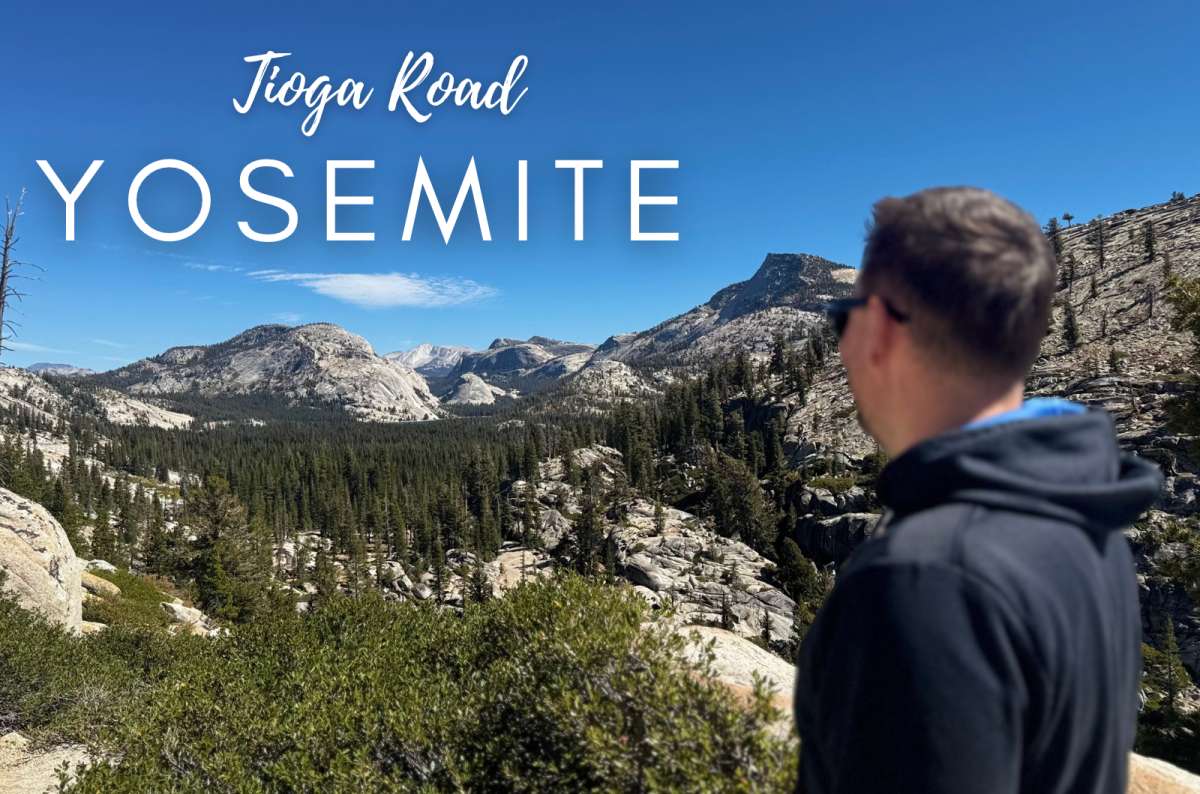


Tioga Road is the part of Yosemite I appreciate more with every visit. The Valley gets you immediately: enormous cliffs, waterfalls, the whole show. Up here, I want to stop for the rounded granite slopes, the pines, and another lake that makes getting back in the car seem like a poor decision.
I have visited Yosemite four times. For a first high-country day, Olmsted Point and Tenaya Lake are my essentials, followed by one hike or an easy meadow walk. You can spend the day seeing quite different landscapes without committing to a huge summit hike. You can also ruin it by adding every trailhead to the schedule.
This is my Tioga Road guide to choosing the stops that earn their time, driving in a sensible direction, and deciding whether to continue over the pass. My preference is to head east from Yosemite Valley. If your trip is taking you toward Mono Lake or Death Valley afterward, even better: you avoid driving the same road twice.
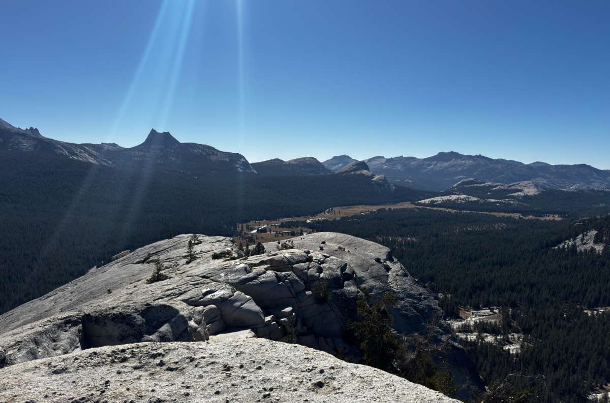
This is what five hours of driving buys you
Yes, if you have time beyond your first day in Yosemite Valley. The high country is one of the two parts of the park I prioritize most, and it gives you a completely different Yosemite: open meadows, lakes, and granite rather than the Valley's enclosed walls.
The main disadvantage is distance. On a twelve-hour high-country day, I have spent about five hours driving. That includes getting here and back; it is not the time needed to drive the scenic road itself. Where you sleep makes a huge difference.
For a single day in the whole park, I would stay in the Valley. With several days, Tioga deserves one of them. And if you are passing through Yosemite on your way east, stopping along the road is a much better use of the journey than treating it as a transfer.
You do not need to be a serious hiker to enjoy it. My favorite viewpoint takes a short walk, and Tenaya works beautifully as a lakeside break. The big hikes are choices, not admission requirements.

The stops below follow west-to-east driving order, not my ranking. Among the high-country places, my personal priority order is Olmsted Point, Cathedral Lakes, Tenaya Lake, Tuolumne Grove, Lembert Dome, Soda Springs, then Tioga Pass. A day on the road needs a more selective version of that list.
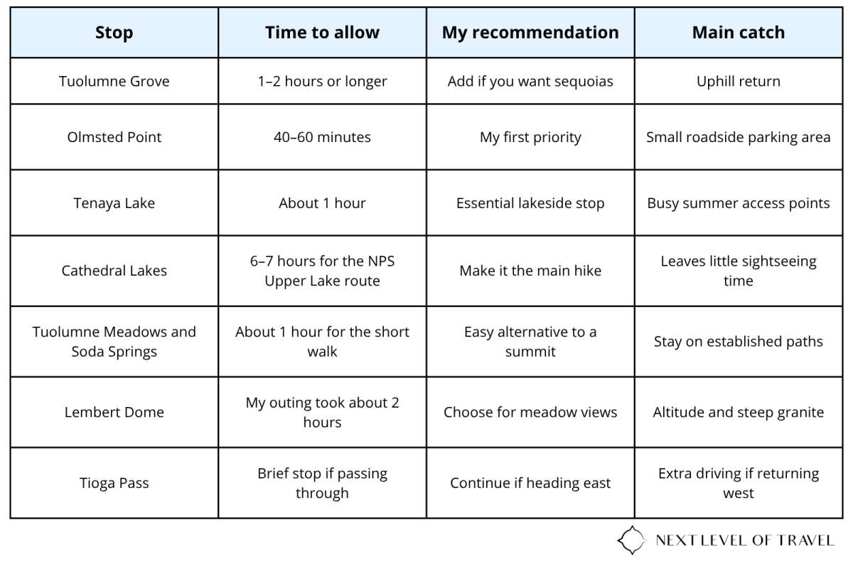
Time at the stops excludes driving. Cathedral and Lembert are alternatives for a sightseeing day; the table is not a checklist to complete.
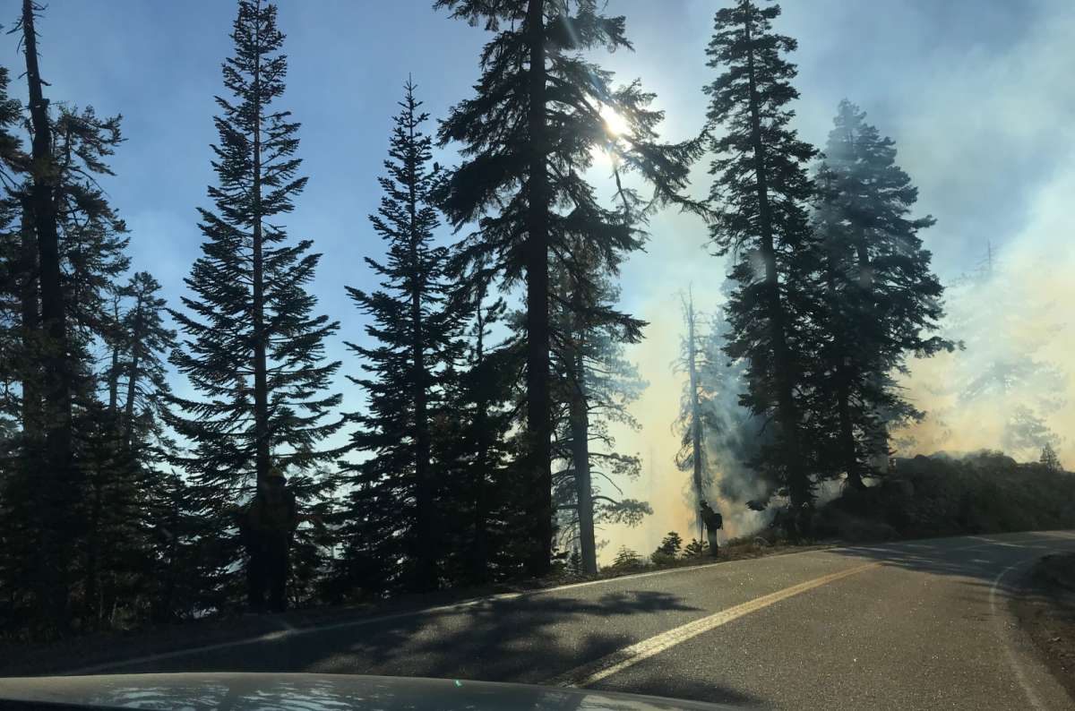
Not every stop on the drive is in the itinerary, so check the road conditions before you set off
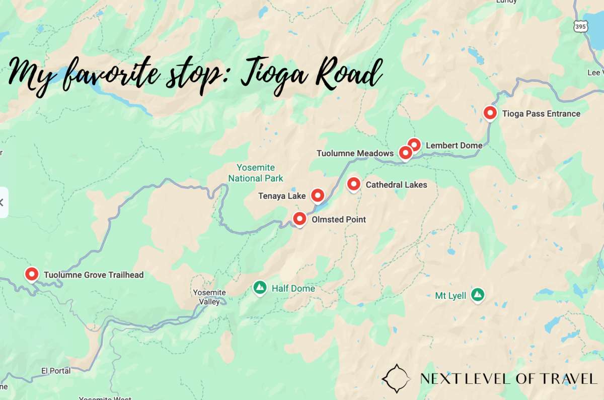
Tioga Road carries Highway 120 across Yosemite's high country, from Crane Flat to Tioga Pass. The NPS area guide describes this stretch as 47 miles / 76 km. Yosemite Valley is off that road, so getting from your hotel or the Valley to Crane Flat comes first.
For orientation, NPS driving estimates from Yosemite Valley are approximately 30 minutes to Crane Flat, 1.5 hours to Tuolumne Meadows, and 1 hour 45 minutes to Tioga Pass, without sightseeing stops. Returning from the pass means roughly 3.5 hours of Valley-to-pass driving alone, before traffic, hikes, lunch, or your hotel journey.
I recommend the west-to-east approach from the Valley if you have a choice. I find the views more dramatic that way. This is a scenery preference, not a reason to reverse an otherwise sensible California route. If you are arriving from Lee Vining, work through the stops east to west instead. Rent a car in California if you don’t have one.
Tioga Road and Tioga Pass are not interchangeable: the road is the whole drive; the pass is its high eastern crossing and park entrance. You can enjoy Olmsted, Tenaya, and the meadows without insisting on reaching the gate.
The road is seasonal. It generally opens in late May or June and closes in October or November, depending on snow. Dates vary enough that I would never book a spring crossing based on last year's opening.
Checked October 9, 2026: Tioga Road is listed as open. The current NPS notice warns of roughly 10-minute delays in Tuolumne Meadows and 15-minute delays between Olmsted Point and Tioga Pass, Monday–Thursday, 8 am–3:30 pm. Overnight parking along the road and its lots ends October 15.
Check the same page immediately before driving. An open road does not mean snow-free hiking trails, open shops, or every usual trail connection being available. If the road is closed, you cannot drive through Yosemite to Lee Vining; you need a different route around the Sierra.
There is no separate Tioga sightseeing ticket. For 2026, Yosemite entry costs $35 per private vehicle for seven consecutive days. Non-US residents aged 16+ pay an additional $100 each, unless covered by a qualifying pass.
For two nonresident adults in a car, that is $235. The America the Beautiful annual pass is $250 for nonresidents, or $80 for US citizens and residents. Compare the pass with the other national parks on your trip; another covered visit can make the difference worthwhile. Entrance stations are cashless.
There is no timed park-entry reservation requirement in 2026. Camping and overnight wilderness trips have separate arrangements. Recheck the rules for your travel year.
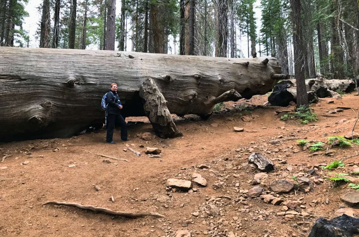
Even lying down, this sequoia towers over a tourist, and the uphill walk back is still ahead
I have been to Tuolumne Grove three times. It was where I first saw giant sequoias, which gives it a special place for me. 8/10, and a good addition near the western end of the drive if you have not already visited a sequoia grove.
There are about two dozen mature giant sequoias here, according to the NPS sequoia guide. This is a smaller grove, not a substitute for every experience in Sequoia National Park. But with limited California travel time, seeing these trees in Yosemite can save you a separate park detour.
Use the signed Tuolumne Grove trailhead just east of Crane Flat. The official hike is 2.5 miles / 4 km round trip, descending 500 feet / 150 m before you have to climb back. I usually think of it as a one-to-two-hour visit, but allow longer for a leisurely walk.
The descent is deceptive. Remember the uphill return before treating this as a quick roadside stop. If you have already seen the sequoias you wanted elsewhere, I would spend that time farther east.
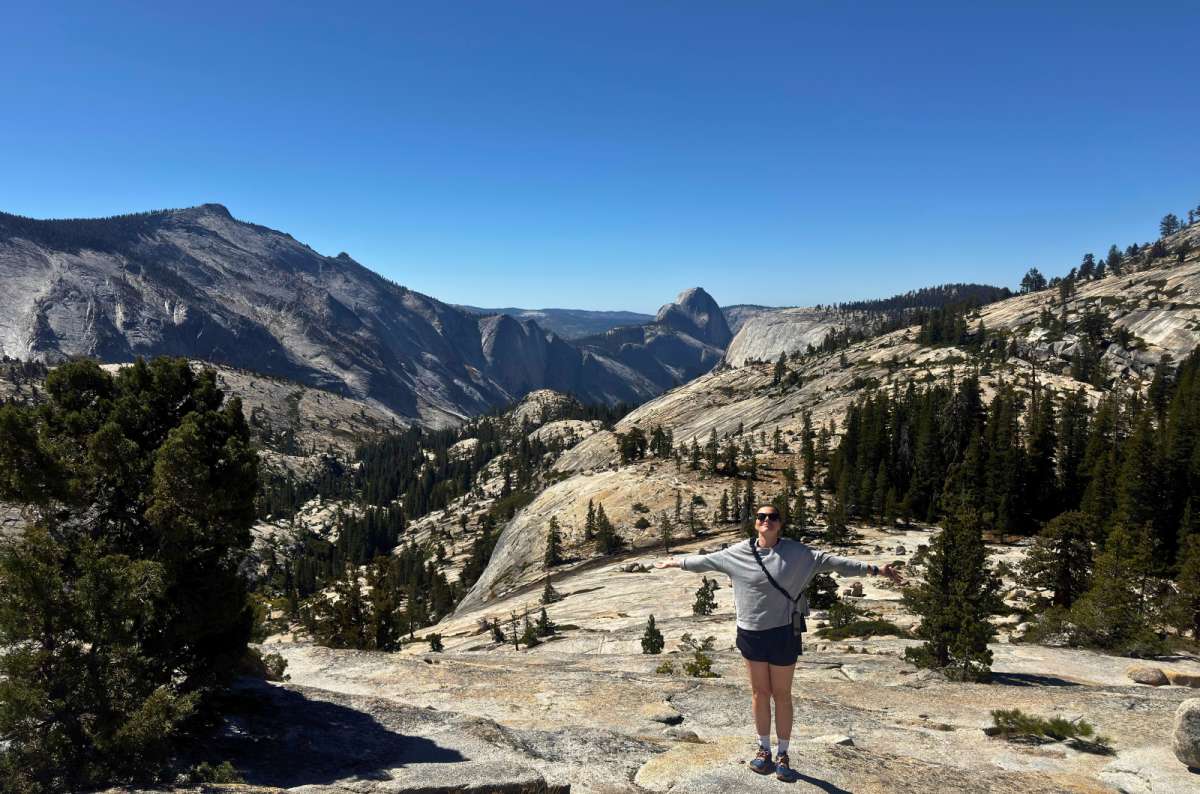
Arms wide open, the only sensible reaction to an 11/10 viewpoint
Olmsted is my 11/10 viewpoint and the stop I would give the most lingering time. You do not have to climb a huge summit to see why I love Yosemite's high country.
Here, Half Dome is viewed from a different direction, with the huge granite face around Clouds Rest and more smooth rock rolling toward Tenaya Lake. I like granite. I like pines. This place makes a fairly convincing argument for putting both in every landscape.
Do the short signed walk beyond the turnout. NPS gives it as 0.25 mile each way, about 0.5 mile / 0.8 km round trip, at roughly 8,400 feet / 2,560 m. The roadside view is good, but walking out opens up the landscape. I would allow 40–60 minutes.
Stay on the established route across the granite; the open rock can make the direction less obvious than a forest trail. The scattered boulders are glacial erratics, carried here by glaciers and left when the ice melted. Once you notice them, the whole scene becomes more interesting.
My preference is morning light for photography. Bring a snack and give yourself time to sit; I would rather linger here than collect another minor stop. Use the signed parking area, and expect competition for spaces at busy times. The paved roadside viewing area is wheelchair accessible; the hilly trail farther out is not.
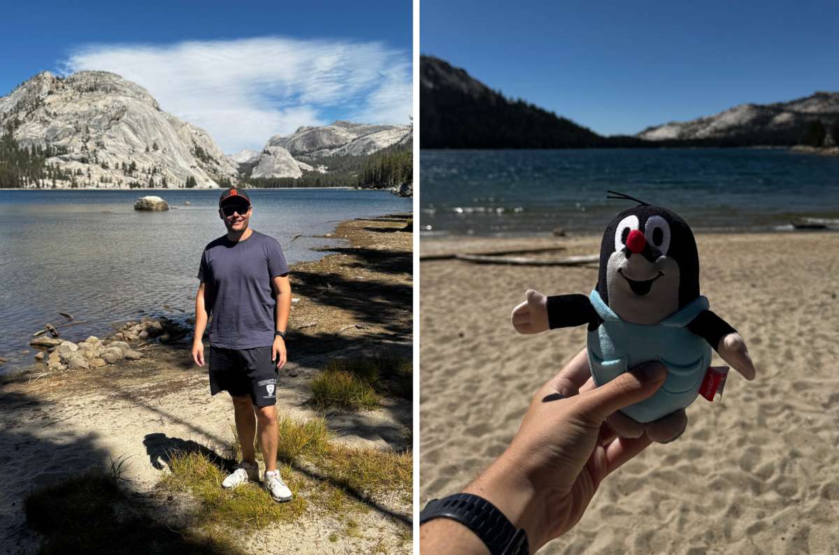
Shoreline, sand and a plush mole that voted against walking the whole lake
Tenaya is 10/10 for me, and one of the best stops on Tioga Road when you want a large scenic reward without a big climb. I overlooked it on earlier visits because I was concentrating on longer hikes. Another questionable decision.
I walked around the lake in roughly 50–60 minutes and enjoyed how the views changed. But I am not convinced everybody needs the entire walk: much of it is in the forest. For me, the southwest shore had the best views, while the eastern shores were quieter during my visit.
That gives you two sensible options. Walk farther if you want to stretch your legs; stay by a good stretch of shoreline if the point is a picnic and the scenery. Neither needs to become a hiking achievement.
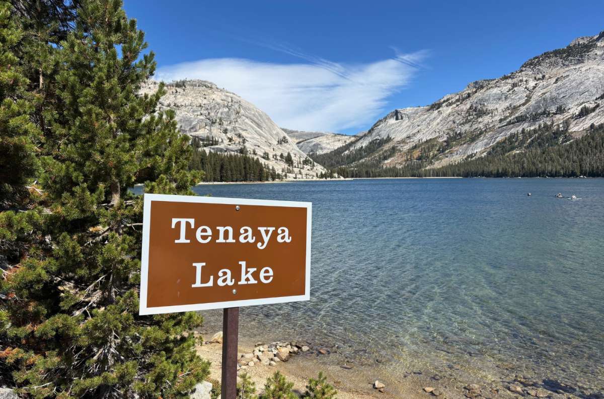
Clear water and granite peaks, exactly the combination that earns this lake its hour
Tenaya is Yosemite's largest frontcountry lake, rather than its largest lake overall. Granite peaks and clear water are the attraction; I would give it about an hour on a sightseeing day.
Coming from the Valley, do not assume the first parking area is your only chance. There are several signed access areas along the lake. If the first is congested, continue to another legal space rather than join the blockage. Some access points have vault toilets. The east end has accessible parking, a vault toilet, and a paved path to lake views; that does not mean the full lakeside walk is accessible.
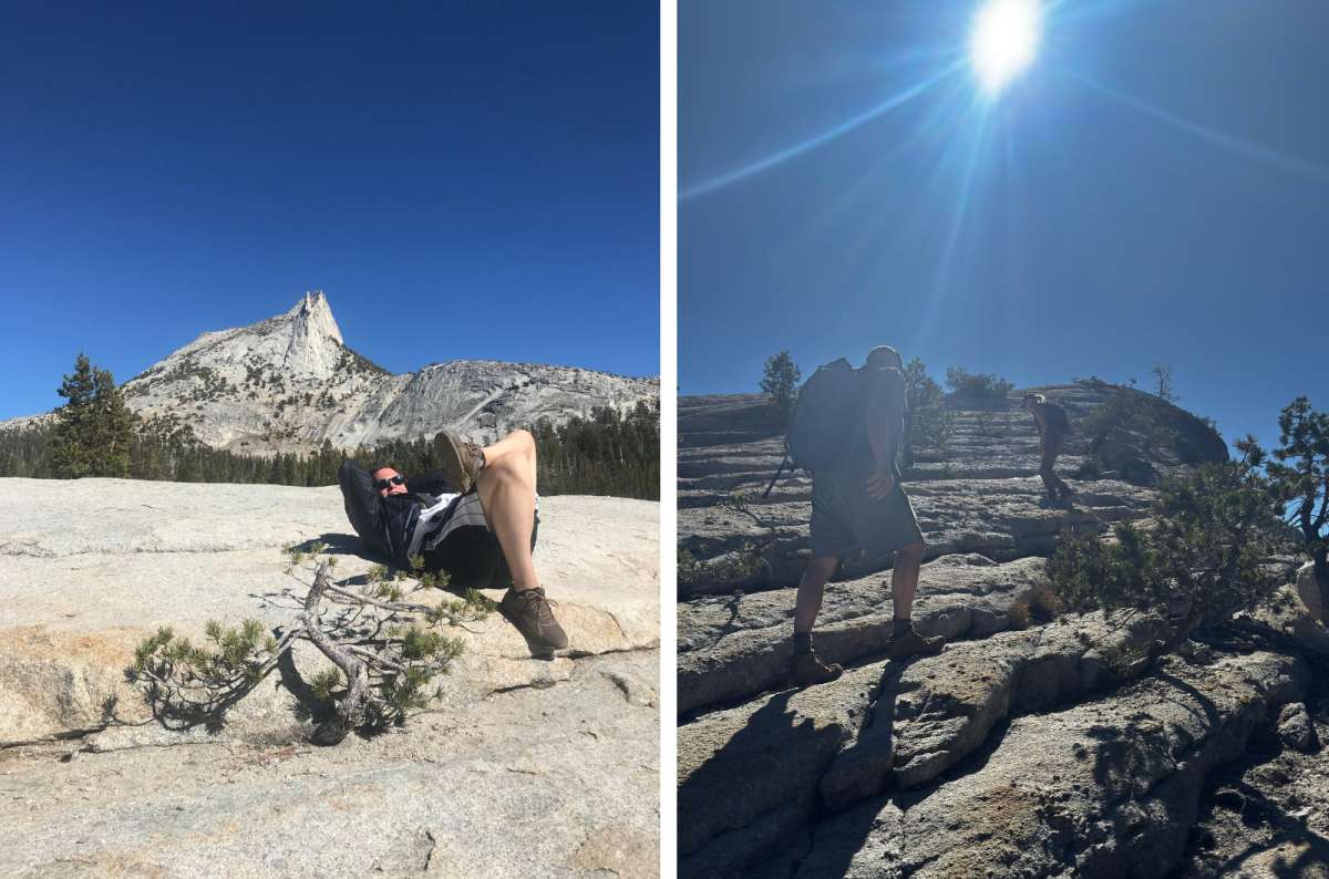
Same granite, two very different afternoons: Cathedral Lakes on the left, Lembert Dome on the right
For my own hiking preference, Cathedral Lakes wins. For a day that also includes several Tioga Road stops, Lembert is easier to fit. The difference is how much of the day you want to spend walking.
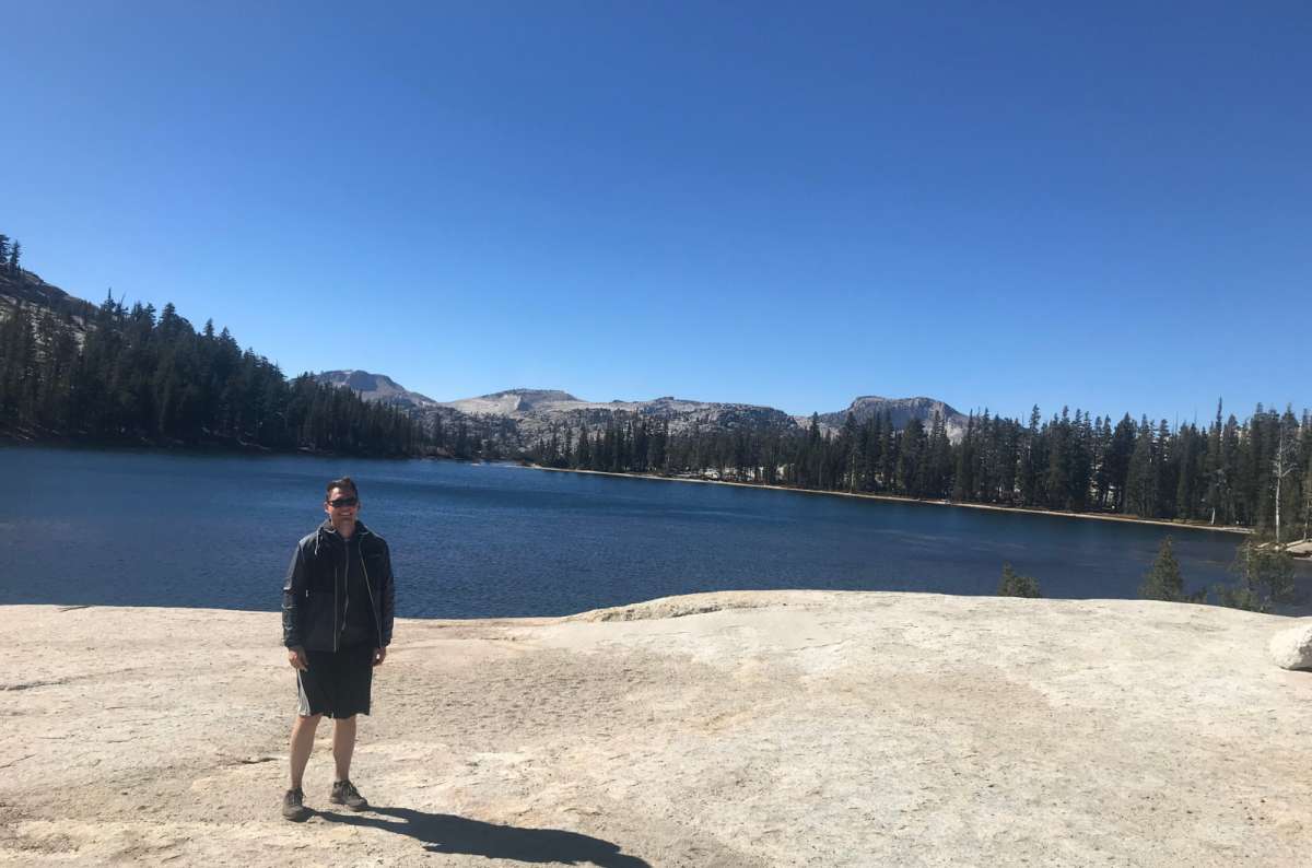
The forest approach was forgettable; this lake is not
I give the Cathedral Lakes hike 9/10. The forest approach was not my favorite part, but the lake scenery was worth it. We brought picnic food and snacks, which is how I would do it again: leave time to enjoy reaching the lake.
My outing took roughly three hours. That is a personal memory, not the planning time for the full official route; the altitude and your chosen lake affect the day considerably.
The NPS route to Upper Cathedral Lake starts at Tuolumne Meadows Visitor Center and is 7.6 miles / 12 km round trip, with 1,000 feet / 305 m of gain and an allowance of 6–7 hours. Lower Cathedral Lake is reached by a separate spur; confirm your endpoint and current signed access before setting off.
Make this the main activity, with only brief roadside stops. I would not combine that full route with the grove, a complete Tenaya walk, and another summit. Yosemite does not become smaller because your spreadsheet says it should.
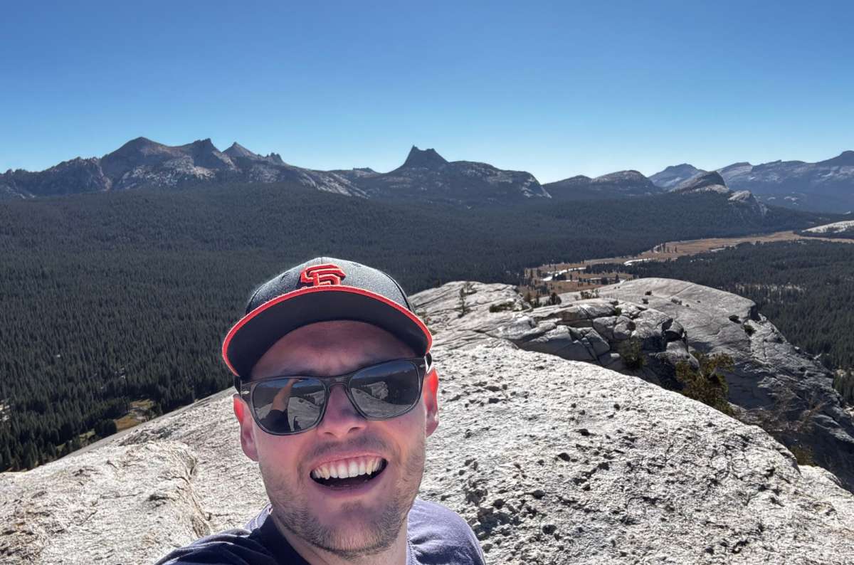
Hike 5/10, views 11/10, and the grin tells you which number matters
Lembert has the biggest gap between my trail and scenery ratings: 5/10 for the hike, 11/10 for the views, 8/10 overall. Most of my approach was through the woods. At the top, the meadows and granite peaks spread around you in every direction.
My outing took about two hours, including roughly 45 minutes climbing with photograph stops. I could feel the altitude, and the final granite section was steep enough to need attention. It is harder than a short distance on paper suggests.
Route choice changes the total. NPS lists Dog Lake plus Lembert Dome from Dog Lake parking at 3.8 miles / 6.1 km round trip, 850 feet / 260 m of gain, and 3–4 hours. Those figures include Dog Lake and are not the same as my shorter outing. Stay off exposed domes during thunderstorms.
Current access: the trail between the wilderness center and Lembert Dome is closed for construction, with an alternate route available, according to the October 9 check of NPS conditions. Follow the signed detour rather than assuming every old route description still works.
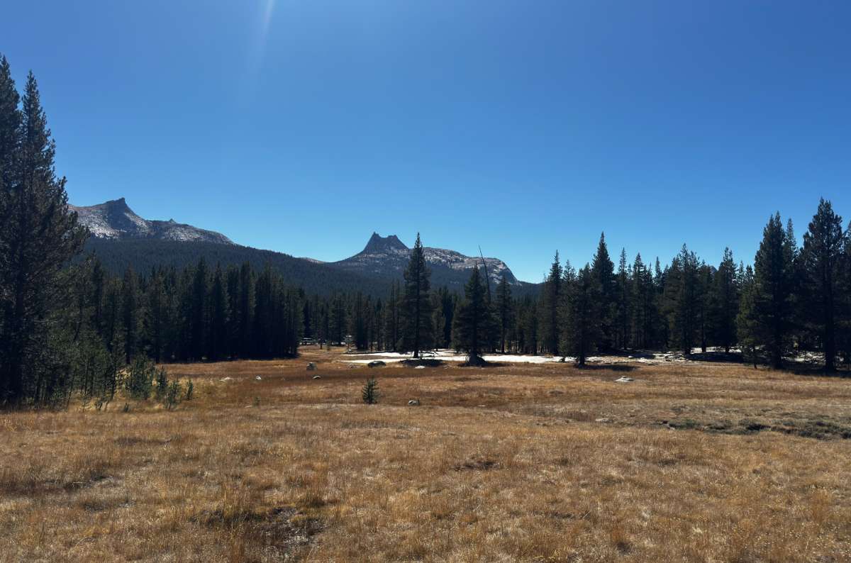
Flat, open and a world away from the Valley, which is why the easy walk works
I loved Tuolumne Meadows from my first visit. The open space feels completely different from the Valley and from Tenaya's granite enclosure. If you want a gentle walk instead of a summit, this is where I would put it.
Soda Springs itself gets 7/10 from me. It is pleasant, but other high-country hikes take priority. After Lembert, I would not insist on doing it as well; you have already seen the meadows from a much better vantage point.
The Parsons Lodge and Soda Springs walk is 1.4 miles / 2.3 km round trip, mostly flat and unpaved. Use the signed visitor-center or Lembert Dome parking access and stay on established paths to protect the meadow. Cold carbonated water bubbles out of the ground near the historic enclosure. Enjoy seeing it; bring your own drinking water.
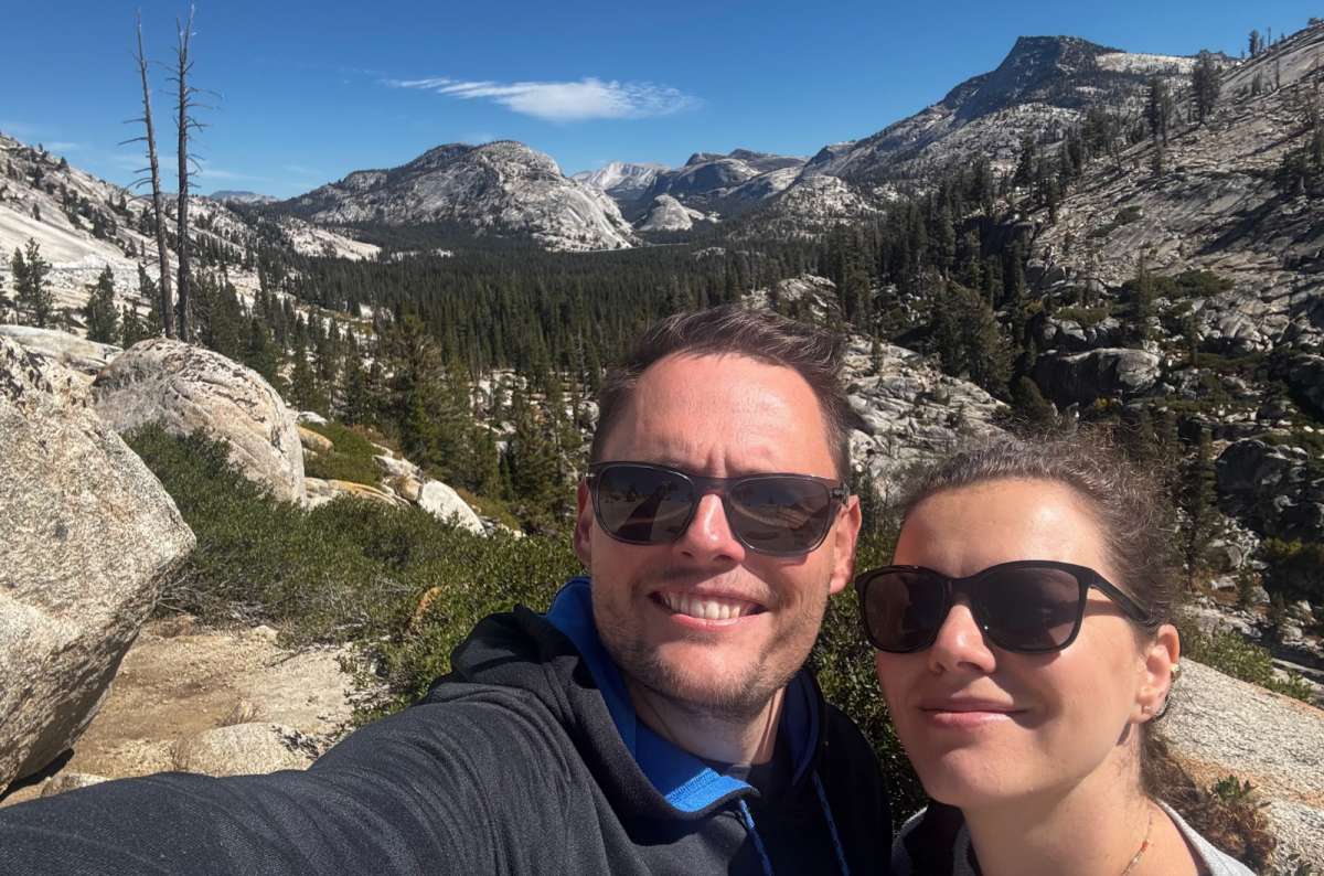
A selfie at 3,031 meters, because the high point of the drive deserves one
Tioga Pass was the first place where I went above 3,000 meters. At the entrance station, you reach 9,945 feet / 3,031 m, the high crossing of this drive. It gets 8/10 from me, partly because I remember that first high-altitude visit.
Even so, I would not add a separate there-and-back drive just to reach the gate. If you are continuing toward Lee Vining, Mono Lake, Mammoth Lakes, or Death Valley, it makes sense. If you are returning west, the stops you have already visited are stronger reasons to be here.
For a Tioga Pass road trip continuing east, this is the natural exit. If you are returning to the Valley, feel free to turn back earlier.
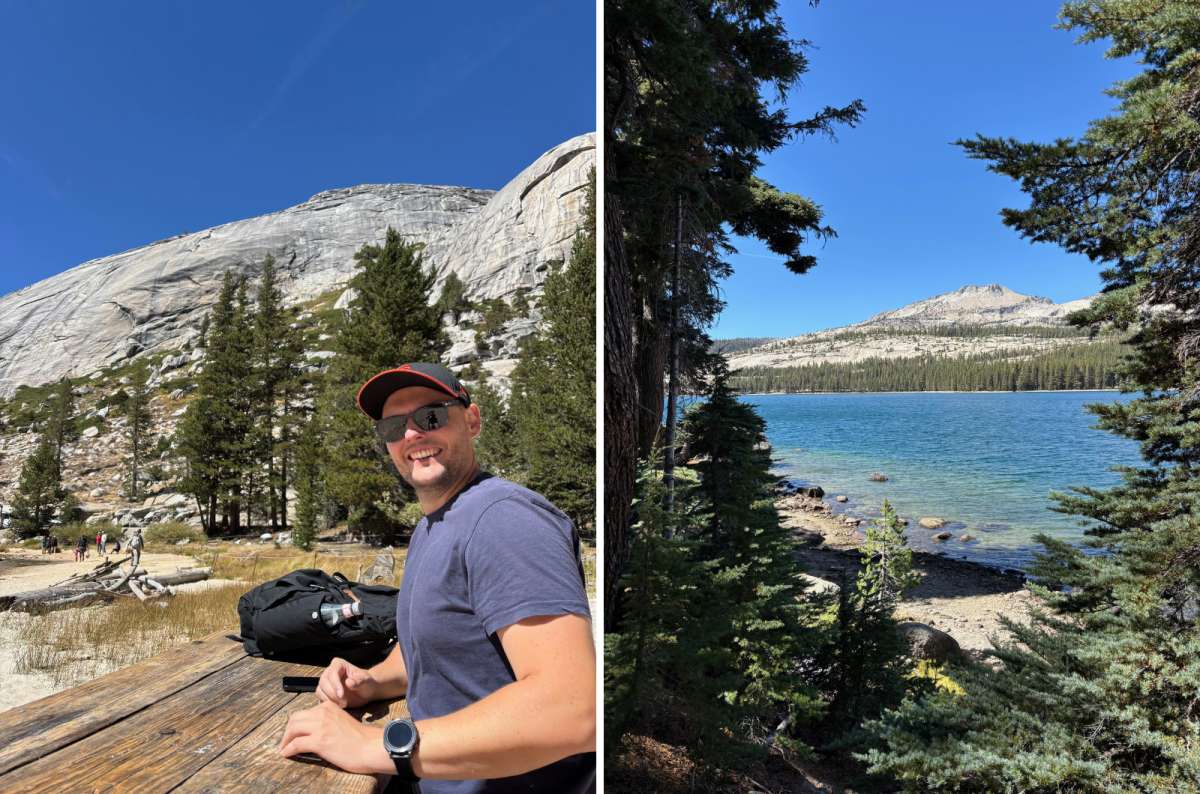
Step two of the plan: lunch at Tenaya, granite view included
For a Tioga Road day trip from Yosemite Valley, leave early and go straight to Olmsted Point, then Tenaya Lake. Have your picnic there and choose one afternoon activity: a Lembert outing that fits your remaining time, or the easier meadow and Soda Springs walk. Return west, or continue over the pass if you are traveling onward.
Want sequoias? Visit Tuolumne Grove on the way out and choose the easy meadow option later. Want Cathedral Lakes? Start with that as the main hike, then keep Olmsted and Tenaya to brief stops if daylight and energy allow. You are choosing a different kind of day, not adding another item to the first one.
For a west-to-east transit day, the roadside stops can break up your journey well. Do not squeeze a full Cathedral hike between checking out of a hotel and a long evening drive beyond Yosemite.
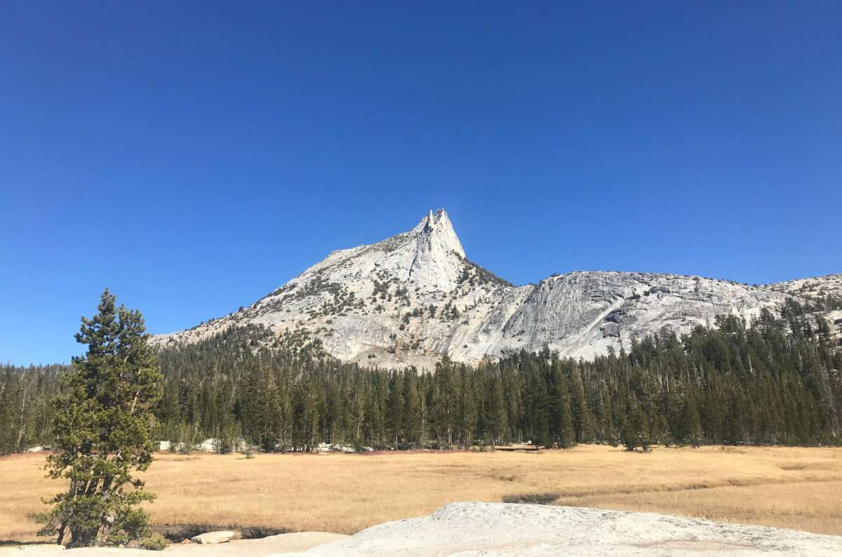
Scenery like this is nowhere near a fuel pump, so fill up in Crane Flat or Lee Vining first
Take food, water, and enough fuel. High-country services are limited and seasonal; there is no fuel in Tuolumne Meadows. Crane Flat and Lee Vining are the practical fuel locations on either side of the drive. Check what is operating before relying on a shop or refill.
Bring a jacket even when the Valley is warm. You spend much of the high-country day above 8,000 feet / 2,440 m, and Lembert reminded me that a short climb can feel different at altitude. Download directions and trail information before losing reception.
Parking was generally less stressful for me here than in the Valley, but NPS warns that spaces along the road and in the meadows are limited. Tenaya's access areas can still get congested. Use designated spaces and pullouts; let the driver stop safely before admiring the view.
Keep to the speed limits and secure your food. I always notice Yosemite's yellow signs with red bears: they mark places where a bear was killed by a vehicle. The drive is beautiful enough without rushing it.
This post contains affiliate links. If you make a booking through one of my links, I may earn a small commission—at no additional cost to you. Thank you for your support!


Hi, I’m Jan. I travel fast and intensely, whether I’m exploring the buzz of Tokyo in 3 days or road-tripping through mountains and beaches on a 3-week Thailand adventure. And no matter where I am, you’ll always find me in a comfortable hotel at night and eating the best food.
If that sounds like your kind of journey, hop on board, and let’s explore the world together!
I started this blog after realizing how tough it can be to find reliable, authentic travel info. You wouldn’t believe how many “travel bloggers” never even visit the places they write about! On Next Level of Travel, you can count on my full honesty and insights drawn from my firsthand experiences.
Here’s the deal: not every destination is all superlatives and unicorns. I’ll let you know if a tourist attraction isn’t worth your time, like skipping overrated stops in my 2-week Spain itinerary. And when I find something truly special—like the perfect mix of culture and nature in Cape Town—you can trust that it’s worth adding to your itinerary.

Comments | Thoughts? Give us a shout!